
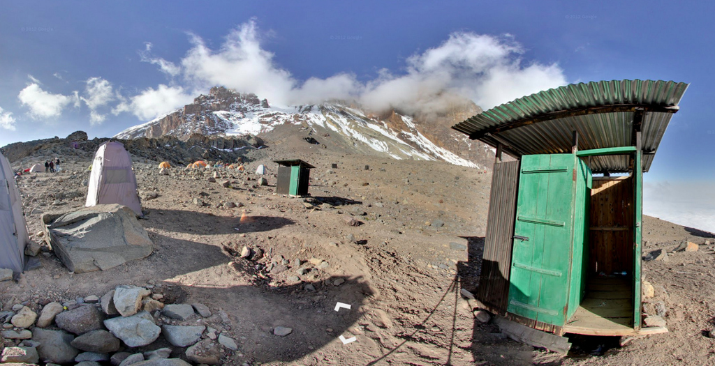
Google Maps has brought us Street View images of the Grand Canyon, Antarctica, oceans, and the inside of museums — not to mention occasional spicier fare. Today, Google is launching new Street View coverage of four of the "Seven Summits" — the highest mountains on each continent. Google has taken its cameras to Aconcagua in Argentina, Tanzania's Kilimanjaro, Russia's Mount Elbrus, and Everest Base Camp in Nepal.
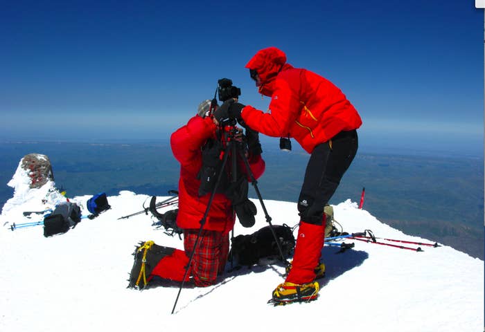
The Google Trekker, a backpack mounted with a rotating camera, which used to photograph the Grand Canyon, had not been developed when Google started mapping mountaintops. Instead, the company used a lightweight tripod and a Canon digital camera with a with a fisheye lens to capture Street-View-read images from certain locations.
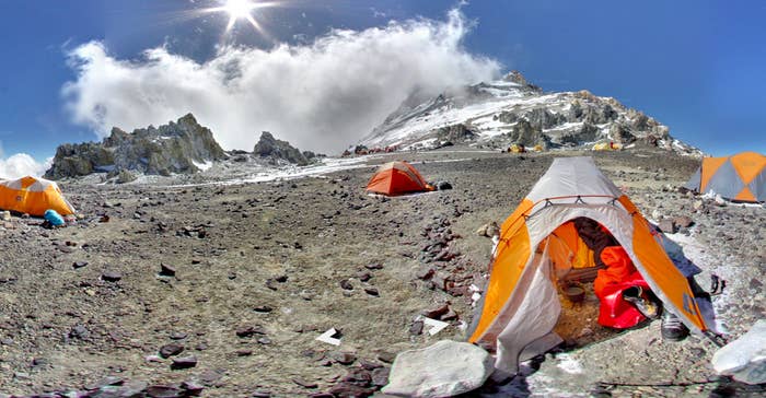
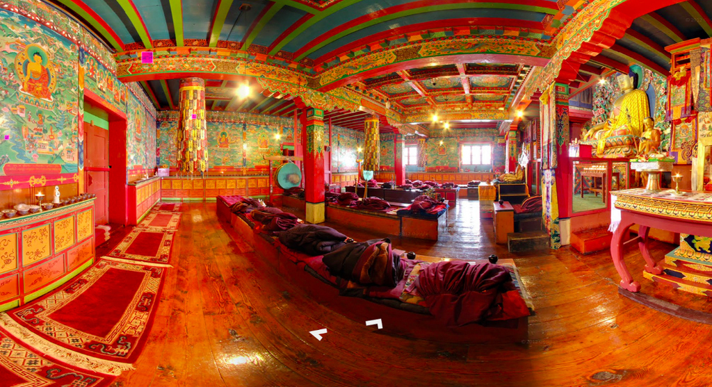
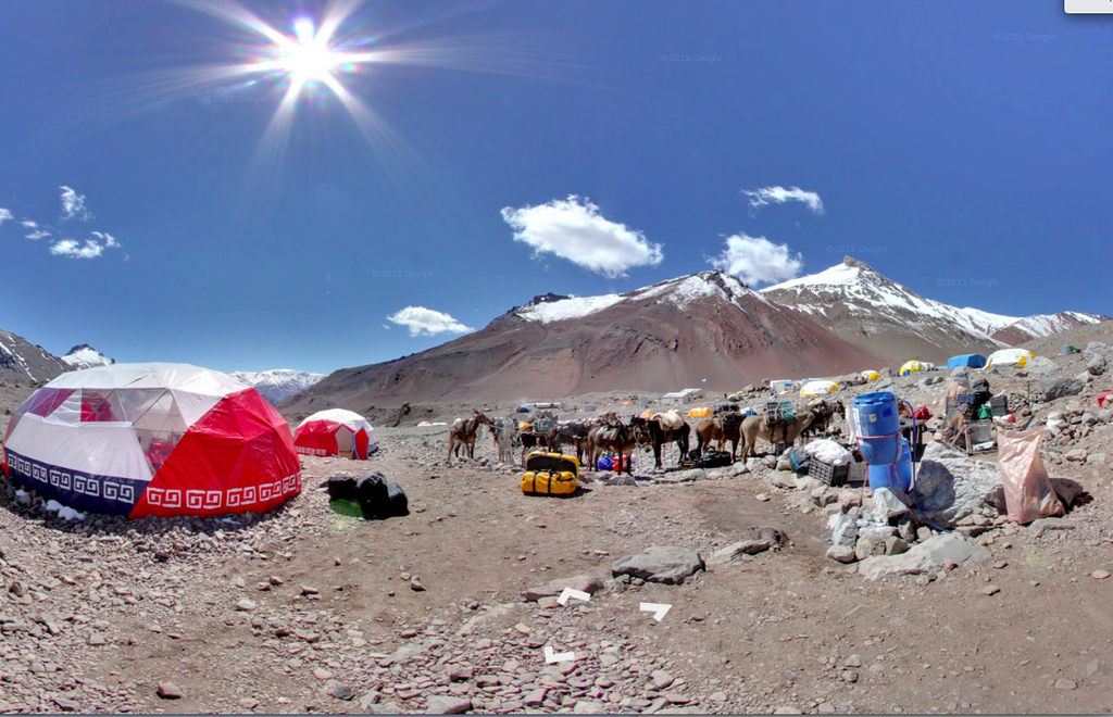
There's plenty to look at here: base camps are filled with tents (some of which you can look inside), scattered equipment and idle guides. There are gauchos taking a break at Aconcagua, and Soviet-era huts on Mount Elbrus. You can even explore the interior of a monastery on the edge of Everest.
"It isn't just the view from the top of the mountain, but in the tent, when you wake up in the morning with a layer of frost on your skin, or packing your equipment on mules to go through the desert," says Dan Fredinburg, who took a break from from his work on privacy and security issues at Google to join the mountain climbing team. "At a camp with climbers on an expedition there is an almost palpable buzz and vibe of people pushing themselves to go to a dangerous environment just to see it. We want to catch that as much as possible." You can try it for yourself here>.